

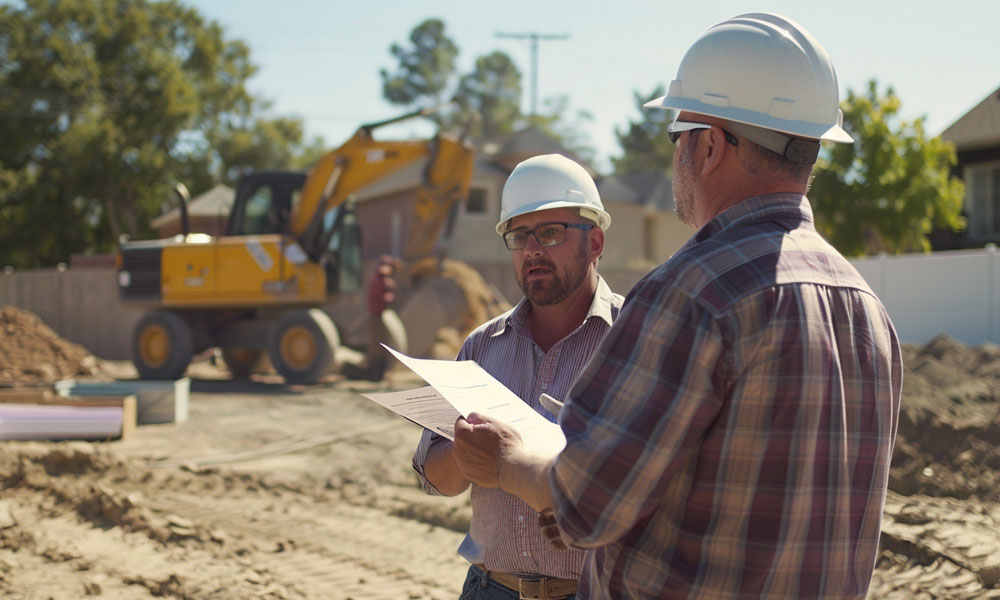
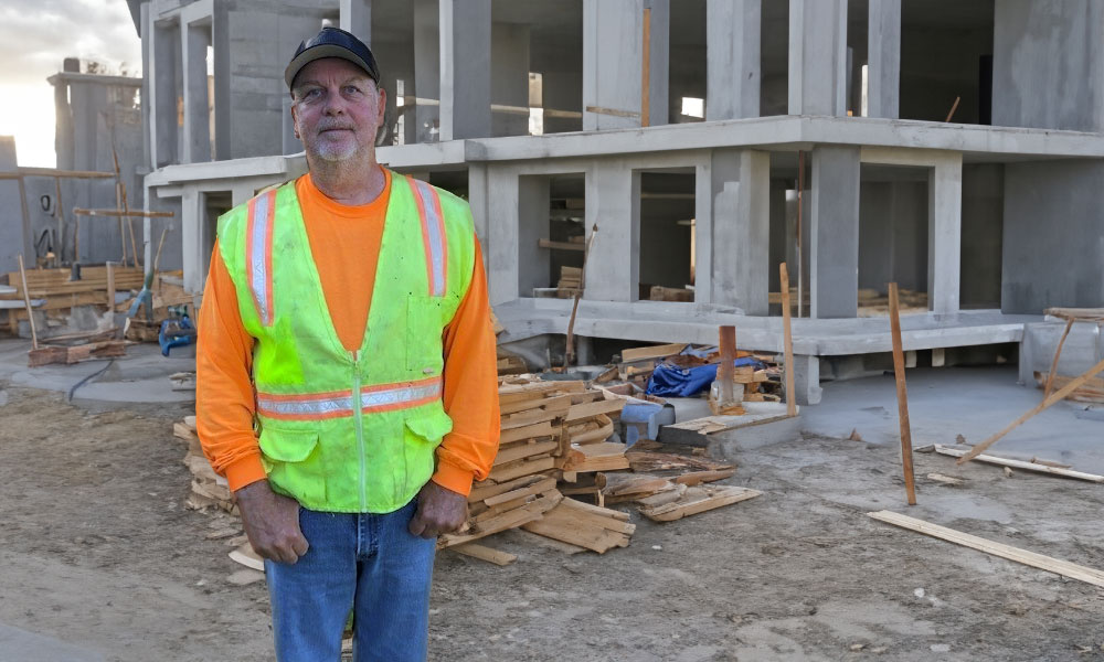
Project Management
Our staff geologists assess the conditions of your proposed project site through comprehensive geologic mapping and determine the potential for hazards such as landslides, debris flow, flooding, settling, and more. They are skilled at tailoring their geologic investigations for each project, providing the groundwork for our geotechnical engineers to deliver viable, cost-effective solutions to you.
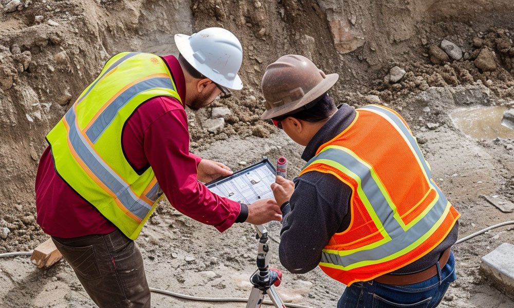
Assessment Process
Geological investigations are crucial for understanding the physical characteristics and behavior of a job site’s subsurface. These services encompass a range of disciplines, including seismic hazards evaluation, fault studies, geologic mapping, landslide investigations, and soil characterization. By utilizing advanced techniques and methodologies, our geological services provide a thorough assessment of geological features for use in a variety of sectors and applications.
Geologic Mapping
Geologic mapping is like reading the Earth’s diary. It involves piecing together the puzzle of rocks, minerals, and landforms to understand the geological history of an area. This knowledge is crucial to identifying potential geologic hazards.
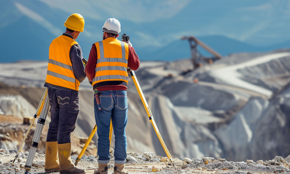
Assessing Slope Stability
Any kind of inclined ground surface is considered to be a slope, whether naturally occurring or human-built. Slope stability depends on a combination of weight and the impact of external forces such as excess rainfall, earthquakes, and human activities. Slope failures – or landslides – commonly occur and can damage infrastructure and result in numerous fatalities each year.
Analyzing Soil Properties
Analyzing soil properties is crucial for designing foundations, slopes, and other infrastructure that can withstand pressure from external forces. By understanding how soil behaves, our engineers can predict how the ground will react to the loads imposed on it and can make recommendations to ensure your project is on solid ground.
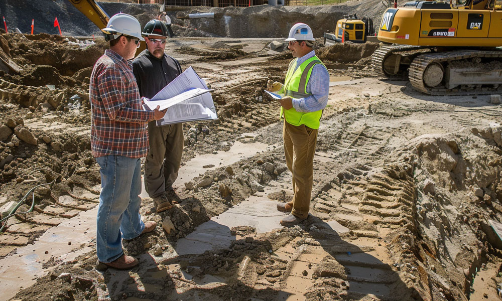
Infrastructure Project Design
Our geological services help engineers design structures that won’t collapse by providing crucial information about the ground’s behavior. These services assess risks, identify potential hazards, and recommend measures to ensure the safety and stability of structures.
Seismic Hazard Reporting
Seismic hazards are like earthquakes on steroids. They include everything from ground shaking to landslides and tsunamis. Basically, Mother Nature throwing a tantrum. These hazards can wreak havoc on our infrastructure and even put lives at risk. Therefore, seismic hazard reporting is essential to assess and understand the invisible threats lurking beneath the surface.
Faults and Tectonic Activity
Faults occur when the Earth’s tectonic plates slide past each other, causing cracks in the earth that radiate out from major faults. By studying faults, geologists gain insights into the movement of these plates and cracks, and the potential for earthquakes and other geological events. Geologists use methods like LiDAR scanning, satellite imagery analysis, and field surveys to map and study faults and chart the twists and turns of the Earth’s crust.
Services Provided Include
⦁ Subsurface Geologic Investigations
⦁ Shear Wave Velocity and Seismic Refraction Surveys
⦁ Geologic Mapping
⦁ Landslide Investigations
⦁ Slope stability assessments
⦁ Soil Characterizations
⦁ Infrastructure Project Design
⦁ Hazards Mitigation
⦁ Seismic Hazards Evaluation/Fault Studies